

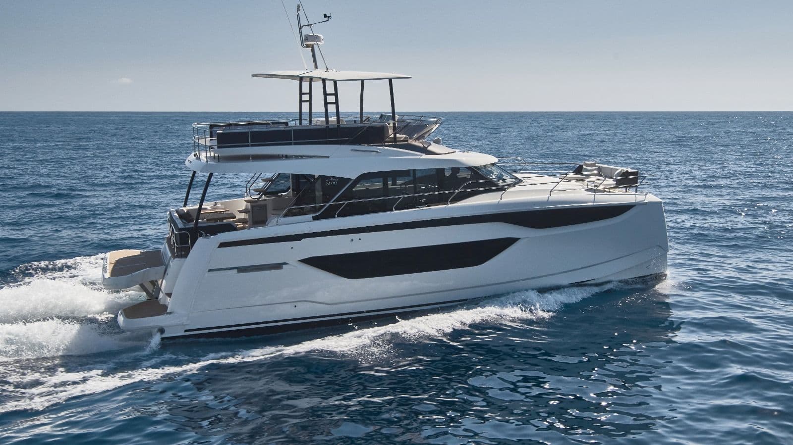
Sailing the Canary Islands in winter: months, winds, islands
Winter is when the Canary Islands come into their own under sail: AEMET's normals give average daily highs of about 21–23 °C from December to February, and the north-east trade wind blows on more than half the days outside summer. A charter week usually covers one island pair, such as Tenerife and La Gomera, Gran Canaria, or Lanzarote with La Graciosa. It is ocean sailing: passages are long and the Atlantic swell sets the rhythm.
Where to charter a yacht in the Canary Islands?
Charter yachts are based in the south of Tenerife in San Miguel de Abona, in Las Palmas de Gran Canaria and in Arrecife on Lanzarote; see all bases on Tenerife and across Spain. Charter weeks usually run Saturday to Saturday. To sail bareboat you need a licence the charter company accepts, see our guides to the boat licence in Spain and the ICC; with a skipper or a crewed yacht you need none.
The winds and sea in winter
The trade wind is the backbone of Canary sailing. According to AEMET's catalogue of adverse weather for Gran Canaria, the prevailing wind over the archipelago is north-easterly with a mean strength of about 20–35 km/h (roughly 11–19 knots). It blows on more than 50 % of days in autumn, winter and spring and on 90–95 % of days in summer. Winter is the gentler half of the year: at Gran Canaria airport the most common January wind is 6–10 knots, while in July 41 % of observations are 21–25 knots.
Acceleration zones are the thing to learn before you leave the marina. The islands are high, and AEMET forecasters describe low-level coastal jets along some coasts of Tenerife and Gran Canaria with sustained winds that can exceed 40 knots and gusts above 50 knots in strong events. They can happen in any season, although they peak in summer. Around Gran Canaria the trade wind speeds up at the north-west and south-east corners of the island, and the strongest winds on the east coast are found near Pozo Izquierdo, in the lee of the Arinaga headland. Between Tenerife and Gran Canaria the wind is funnelled through the channel between Anaga and Agaete. In the lee of the big islands the wind drops or turns variable, but the accelerated flow can persist tens of kilometres downwind. The practical rule: reef before you round a headland, not at it.
The sea is the other half of the picture. In summer the trade wind builds a north-easterly wind sea on the windward coasts. From autumn the Azores high weakens, and periods of little swell are interrupted by Atlantic lows passing on their way to Europe, especially in winter. Their swell arrives mostly from the north-west and north, often days after the storm and in fine weather, and can exceed 3.5 m where it concentrates on the coast. When a low comes close to the islands it can bring strong south-westerly wind and sea, an uncommon storm on the south-west facing coasts. AEMET points out that harbour works in the Canaries are built for north-easterly seas, so southerly situations hit harbours and anchorages that are normally sheltered. Tides are semi-diurnal, with a range of up to about 3 m around the March and September equinoxes and about 0.7 m around the solstices.
Check AEMET's coastal forecast for the Canary Islands every day, and plan the passages with charts and a pilot book.
Month by month
The wind and sea column below is general guidance built from the seasonal patterns AEMET describes, not a forecast. Temperatures are AEMET's 1981–2010 averages of the daily maximum and the number of days with at least 1 mm of rain at the Tenerife Sur, Gran Canaria and Lanzarote airports.
| Month | Wind | Sea and swell | Notes |
|---|---|---|---|
| October | Trade wind weaker than in summer; a more easterly trade is typical from October to December | First periods of north-westerly swell | Avg. max approx. 26–27 °C; about 2 rain days |
| November | Trade wind alternating with the first Atlantic lows | Swell from lows becomes more frequent | Avg. max approx. 24–25 °C; 2–4 rain days; the transatlantic rally fleet gathers in Las Palmas |
| December | Mostly moderate trade wind; lows can bring strong north-westerly or, when close, south-westerly wind | Winter swell season, occasional south-westerly storm | Avg. max approx. 22–23 °C; the wettest month, 3–5 rain days |
| January | Most common wind at Gran Canaria airport 6–10 knots | As December | Avg. max approx. 21–22 °C; 2–3 rain days |
| February | As January | As December | Avg. max approx. 21–22 °C; 2–3 rain days |
| March | Trade wind becoming more regular | Lows lose influence as spring advances; largest tidal range around the equinox | Avg. max approx. 22–23 °C; about 2 rain days |
| April | Trade wind more settled | Sea increasingly driven by the trade wind alone | Avg. max approx. 23–24 °C; about 1 rain day |
Sea temperature changes little through the year: according to AEMET it is roughly 17–23 °C around the eastern islands and 19–25 °C around the western ones, with winter at the lower end.
Which islands for a winter charter week
A week in the Canaries works best around one island or one island pair. The distances below are approximate straight-line figures from the chart.
Tenerife and La Gomera
From the south of Tenerife it is approx. 25–27 nm to San Sebastián de La Gomera, where Marina La Gomera has 335 berths for boats of 6 to 20 m, around 100 of them for visitors. Playa Santiago on La Gomera's south coast is a Puertos Canarios harbour. The south-west coast of Tenerife is the Franja marina Teno-Rasca, a marine Special Area of Conservation (Natura 2000). The day-by-day route is in our Tenerife and La Gomera sailing guide.
Gran Canaria
From Las Palmas it is approx. 35–40 nm around the south-east corner to the south coast, where Pasito Blanco, Puerto Rico, Arguineguín and Mogán are harbours in the Puertos Canarios network. The east coast is where the acceleration zones off Gando and Arinaga bite, so it is best sailed with the wind behind you. Santa Cruz de Tenerife is approx. 35 nm from Agaete and approx. 48 nm from Las Palmas, a long day across the funnel between the two islands.
Lanzarote and La Graciosa
From Arrecife it is approx. 17 nm up the east coast to Órzola and approx. 3 nm more across to Caleta de Sebo, the only harbour on La Graciosa, with around 217 berths run by Puertos Canarios. La Graciosa and the islets north of Lanzarote belong to the Chinijo Archipelago natural park and to the Graciosa marine reserve, see the rules below. South from Arrecife it is approx. 16 nm to Playa Blanca, where Playa Blanca and Marina Rubicón are both Puertos Canarios harbours.
Fuerteventura and Lobos
From Playa Blanca it is approx. 7 nm across to Corralejo on Fuerteventura, and approx. 2 nm on to the islet of Lobos, a natural park. Continuing south, Gran Tarajal and Morro Jable are Puertos Canarios harbours, but Morro Jable is approx. 55–60 nm from Las Palmas, so crossing to Gran Canaria is a passage for experienced crews in a settled forecast.
Rules at sea: whales, marine reserves and harbours
- Whales and dolphins: Spain's cetacean protection decree (Real Decreto 1727/2007) sets a 60 m exclusion zone around cetaceans and a zone between 60 m and 500 m in which boats move at a constant speed of at most 4 knots. MITECO's leaflet states that without a whale-watching authorisation you must not approach closer than 500 m. If animals come within 60 m, put the engine in neutral or stop it. Swimming with, feeding or touching cetaceans, cutting through a group or coming between a mother and calf are banned. Dolphins that come to the bow are fine: keep course and speed. Report injured animals on 112. See MITECO's cetacean protection measures.
- La Graciosa marine reserve: the reserve covers about 70,700 ha around La Graciosa and the islets north of Lanzarote. A circle of one nautical mile around Roque del Este is the integral reserve, where all fishing and extraction is banned. Fishing from a boat elsewhere in the reserve needs a recreational licence and a separate access authorisation, and diving needs prior authorisation. Details are on the Canary government's reserve page.
- Chinijo islets: under the natural park's management plan, Alegranza and Montaña Clara are among its most strictly protected areas, and Alegranza is largely private land. Treat them as islands to sail past, not to land on.
- Lobos: going ashore on Lobos needs a prior authorisation from the Cabildo de Fuerteventura, whatever boat you arrive in, and visits run in two slots, 10:00–14:00 and 14:00–18:00. See the Cabildo's notice.
- Harbour booking: in the harbours run by Puertos Canarios, berths are requested through its electronic office at least three days ahead (Puertos Canarios moorings). As a general rule, contact privately run marinas directly, and book ahead in popular harbours.
- Licence: from 1 October 2026 anyone driving a rented boat in Spain needs a licence. A bareboat yacht needs one that covers its size and area and that Spain recognises, and the ICC is the safe choice. With a skipper you need none.
FAQ
When is the best time to sail the Canary Islands?
For mild sailing, October to April, with the caveat that December to February brings the most Atlantic lows and swell. Summer has the most reliable but also the strongest trade winds.
Are the Canaries in winter suitable for beginners?
With a skipper, yes. Bareboat, the passages between islands, the acceleration zones and the swell call for open-sea experience, so pick a short route around one island pair.
How warm is the water in winter?
AEMET gives a yearly range of roughly 17–23 °C around the eastern islands and 19–25 °C around the western ones, with winter at the lower end.
Can I sail from Lanzarote to Gran Canaria in a week?
On a chart it fits, but it is a long open-water leg of more than 55 nm against the prevailing wind on the way back. Charter yachts return to their base, so most crews stay within one island group.
Why is Las Palmas busy in November?
Every November around 150 yachts leave Las Palmas on the ARC transatlantic rally to Saint Lucia, so the marina fills up in the weeks before.
More sailing guides
Plan the week in detail with our Tenerife and La Gomera sailing guide, compare with the Balearics and the mainland in sailing in Spain, and pack with our list of what to bring on a yacht charter.



