

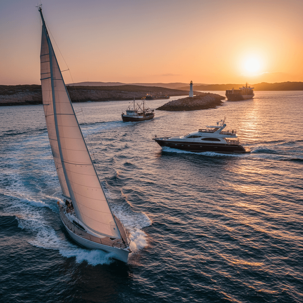
Venice Lagoon by Boat: A Sailing Week from Chioggia
In the Venice lagoon you can moor your yacht within walking distance of St Mark's Square. From Chioggia a week covers Venice itself, Murano, Burano and Torcello, the long barrier islands of Lido and Pellestrina and, if the weather allows, a sea leg to Caorle. It is gentle sailing on paper, but the lagoon has its own rules: marked channels, speed limits in km/h, tides and the MOSE flood barriers.
Where to charter a yacht for the Venice lagoon?
Charter yachts for the lagoon sail from Chioggia at its southern end. See what is available on our Chioggia yacht charter page or compare other bases on the Italy boat rental page. Charter weeks usually run Saturday to Saturday. To go bareboat you need a licence the charter company accepts (see boat licence in Italy and the ICC certificate); otherwise book a skipper or a crewed yacht.
A 7-day sailing itinerary from Chioggia
The route below goes up to Venice outside the barrier islands, explores the northern lagoon, adds an Adriatic day to Caorle and comes back to Chioggia through the lagoon channels. All distances are approximate; plan every leg with up-to-date charts, a pilot book and the tide forecast, and ask the base about depths for your yacht's draught.
Day 1: Chioggia, check-in and the old town
Take over the boat, stow, and walk the town. Chioggia is the ancient Roman Clodia, built on a peninsula facing the lagoon. Tip: use the evening to check the MOSE and tide notices for the week ahead (see Rules below) and the weather for the sea legs.
Day 2: Chioggia to Venice by sea, approx. 17 nm
Leave through the Chioggia inlet and head north along the outside of Pellestrina, a thin strip of land between sea and lagoon protected by the Murazzi, the stone sea walls built by the Venetian Republic in 1774 to 1782. Enter the lagoon again through the Lido inlet and follow the channel to Sant'Elena at the eastern tip of Venice. Overnight in a marina, booked in advance: Marina Santelena behind the Biennale gardens, the Diporto Velico Veneziano sailing club, also at Sant'Elena, or Venezia Certosa Marina on Certosa island, looking across to the Arsenale. Tip: at the Diporto Velico Veneziano, visiting yachts lie at the small pier in front of the clubhouse until a berth is assigned; the club asks you to phone ahead.
Day 3: A harbour day in Venice
Leave the yacht in the marina. Sailing is prohibited in the city's canals, and the historic centre is a limited traffic zone for motor boats, so private yachts are not a way to see Venice from the inside. Walk or take the vaporetto to St Mark's Square and across to the Giudecca instead. Tip: the vaporetto and other scheduled services have right of way on the lagoon, so give them room when you are back at the helm.
Day 4: Venice to Marina Fiorita via Murano, approx. 7 nm
Motor slowly past Murano, the glassmakers' island, on its outer channels, then head north-east into the northern lagoon. Overnight at Marina Fiorita at Cavallino-Treporti, where the Treporti, Saccagnana and San Felice channels meet, directly opposite Burano and Torcello; the marina gives 4 to 6.5 metres of depth. From here visit Burano with its brightly painted houses and lace-making, and Torcello, where the Basilica of Santa Maria Assunta has 11th to 12th century Byzantine mosaics including one of the earliest Last Judgements. Tip: the speed limit between Torcello and Burano is 11 km/h and inside Burano's canals only 5 km/h, so a slow tender ride is the relaxed way to go.
Day 5: Marina Fiorita to Caorle, approx. 24 nm
Exit through the Lido inlet and sail north-east along the coast past Jesolo to Caorle, a fishing town with colourful houses and a Romanesque bell tower. The Darsena dell'Orologio, about 500 metres from the old centre, takes yachts up to 22 metres; book a transit berth in advance. Tip: this is the only open-sea day in the route. If a strong bora or scirocco is forecast, skip it and spend an extra day in the lagoon.
Day 6: Caorle to Venice, approx. 24 nm
Sail back down the coast and enter again through the Lido inlet. Overnight at Venezia Certosa Marina, which has transit berths and online booking, or at Sant'Elena. Tip: plan the passage through the inlet with the MOSE and tide notices in mind; when the barriers are raised the inlets are closed to all traffic.
Day 7: Venice to Chioggia through the lagoon, approx. 15 nm
Return south inside the lagoon along the marked channels, via the Orfano canal and the Santo Spirito canal towards the Malamocco inlet, with Lido and Malamocco on your port side. Malamocco, at the southern end of the Lido, is a quiet Venetian village with Roman roots, a Gothic church of Santa Maria Assunta and the Palazzo del Podestà. Continue past Pellestrina with its fishing villages of San Piero in Volta and Pellestrina and back to Chioggia. Tip: stopping is only allowed in urban canals, not in the lagoon channels, so treat this as a sightseeing passage and stay inside the markers. If your yacht's draught or the tide makes the inner route doubtful, go back outside by sea.
| Leg | Distance | Overnight | Highlight |
|---|---|---|---|
| Day 1: Chioggia | 0 nm | Chioggia base | Old town of ancient Clodia |
| Day 2: Chioggia to Venice | approx. 17 nm | Sant'Elena or Certosa marina | Pellestrina's Murazzi from the sea |
| Day 3: Venice | 0 nm | Same marina | St Mark's by foot and vaporetto |
| Day 4: Venice to Marina Fiorita | approx. 7 nm | Marina Fiorita | Murano, Burano, Torcello |
| Day 5: Marina Fiorita to Caorle | approx. 24 nm | Darsena dell'Orologio | Caorle's old town |
| Day 6: Caorle to Venice | approx. 24 nm | Venezia Certosa Marina | Lido inlet approach |
| Day 7: Venice to Chioggia | approx. 15 nm | Chioggia base | Malamocco and Pellestrina from the lagoon |
Rules and safety in the Venice lagoon
Navigation in the lagoon follows the regulation of the Città metropolitana di Venezia plus the ordinances of the harbour masters in Venice and Chioggia. The key points for a charter crew:
- Marked channels (briccole). Channels are marked by wooden or concrete posts, single or in groups, called briccole. A green mark means keep the post on your right, a red mark keep it on your left; a white mark shows on which side of the post the channel lies. Motor boats must not navigate outside the navigable channels, and you must not moor to channel markers except in an emergency.
- Speed limits in km/h, not knots. The general limit anywhere in the lagoon is 20 km/h (about 11 knots). Some main channels, such as the one along the north side of Venice, are 11 km/h (about 6 knots); most channels through the salt marshes and along smaller islands are 8 km/h (about 4 knots), and some small channels north of Torcello only 5 km/h. In Venice the Grand Canal and the Cannaregio canal are 7 km/h and all other city canals, and those of the Giudecca and Lido, 5 km/h. Murano's outer channels are 8 km/h, Burano's inner canals 5 km/h.
- Wash (moto ondoso). The limits exist to protect the city and the lagoon from wash. Slow down further near moored boats, rowing and sailing boats, landing stages, islands and salt marshes, in fog and at night.
- The historic centre. Sailing is prohibited in the urban canals, and the limited traffic zones (ZTL) restrict motor boats to set hours or authorised users; unauthorised boats may not stop there. Leave the yacht in a marina.
- Right of way. Give way to scheduled water buses and do not cross their bow or hinder them at landing stages. On the Grand Canal the traghetto gondolas have absolute priority.
- Also banned in the lagoon: water-skiing, towing kites or parasails, and jet skis.
- MOSE barriers. Mobile barriers close the three inlets (Lido, Malamocco and Chioggia) when a high tide above 110 cm is forecast, mostly between autumn and spring. The Autorità per la Laguna publishes operations. While the barriers are up, the Chioggia harbour master's ordinance closes the inlet area to navigation, stopping and anchoring; raising is announced by notices to mariners and on VHF channels 14 and 16.
- Tides and shallow water. The lagoon has two high and two low tides a day and a range of up to about one metre (ISPRA). Acqua alta means a level more than 80 cm above the Punta della Salute datum. Scirocco can push the sea level up; a strong bora pushes water towards Chioggia and lowers it in the northern lagoon around Burano. At +110 cm or more, motor boats may use only the main city canals, at no more than 5 km/h; at -50 cm or less, 5 km/h is the limit in the main canals.
- Licence. As boat licence in Italy explains, you may skipper without a licence only with engines up to 30 kW (40.8 hp) and within 6 nm of the coast; beyond that, or with a bigger engine, a licence is required. Charter yachts are normally skippered by someone holding a licence the company accepts, or you hire a skipper.
- Emergencies. The Guardia Costiera number is 1530.
Best time to sail the Venice lagoon
The charter season runs roughly from May to October. MOSE raisings and acqua alta cluster in autumn and winter, so in September and October keep an eye on tide forecasts and allow a spare day in case an inlet is closed. Bora is the most frequent strong wind in the northern Adriatic, and scirocco brings high water; both are reasons to keep the open-sea day flexible.
FAQ
Can I sail my charter yacht into Venice's Grand Canal?
No. Sailing is prohibited in the urban canals and the historic centre is a limited traffic zone for motor boats. Moor in a marina such as Sant'Elena or Certosa and explore on foot or by vaporetto.
Where can a visiting yacht moor in Venice?
Verified options are Marina Santelena and the Diporto Velico Veneziano club at Sant'Elena, and Venezia Certosa Marina on Certosa island, all near the Arsenale. Book or phone ahead.
Can I anchor in the lagoon?
Stopping is only allowed in urban canals, not in the lagoon channels, and motor boats must stay within the navigable channels. Plan every night in a marina.
What happens if the MOSE barriers are raised?
The inlets close to traffic while the barriers are up. Raising is announced in advance by notices to mariners and on VHF 14 and 16, so wait inside the lagoon or in harbour until the barriers are lowered again.
How deep is the lagoon?
Much of it is very shallow outside the marked channels, and the depth changes with the tide and wind. Stay between the briccole and check depths with the base and the chart before you go.
More sailing guides
Compare the lagoon with the rocky coast of Liguria in Cinque Terre and Portofino by boat, and pack with what to bring on a yacht charter.



