Kvarken Archipelago by boat: 5 World Heritage trips
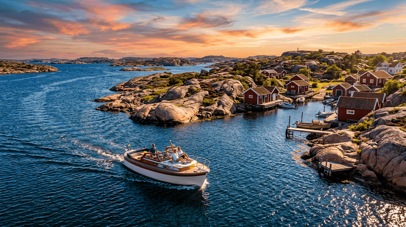
The Kvarken Archipelago is Finland's only natural site on the UNESCO World Heritage list, shared with Sweden's High Coast. It is best seen from a boat. The land rises about 8 mm a year, new skerries surface from the sea, and long De Geer moraine ridges stripe the islands. Trips here are short day runs from the Replot bridge, Svedjehamn on Björkö and Österö in Vörå out to lighthouse islands, fishing harbours and lookout towers. The water is shallow and stony, so bring a chart.
Where can you rent a boat near the Kvarken Archipelago?
Our nearest landing page is Vörå (Vöyri in Finnish). Österö on the Vörå coast is the shortest run to Mickelsörarna: see boats in Vörå and the Kvarken Archipelago. Vaasa (Vasa) is the nearest city. The boats belong to private owners, and each owner says in the listing what experience or certificate they expect. Some owners can also come along as skipper, which is a good choice among the Kvarken shallows if you don't know the area.
5 boat trips in the Kvarken Archipelago
The distances below are estimated from the map. Always use an up-to-date chart or chart app, because land uplift keeps changing the depths.
1. Replot bridge to Replot harbour
Distance: approx. 2–3 nautical miles from the Replot bridge harbour to Replot village harbour, 15–20 minutes each way. At the foot of the bridge is Världsarvsporten, the World Heritage gateway visitor centre, with information and outdoor advice. The harbour there also has a restaurant and a pump-out station. The Replot bridge (Raippaluodon silta) is 1,045 m long, and its main span has 26 m clearance. Replot harbour has a guest pier and a service building, a summer restaurant and a village beach with a diving tower. In Finland a guest harbour is called a vierasvenesatama (gästhamn in Swedish), and on this coast many are small piers run by villages and boat clubs. Tip: the 2.4 m channel into the bridge harbour passes under the bridge at a point where headroom is too low for sailboats. The Solrutten harbour guide sends sailboats in by the northern approach, so check on the chart which way you are going.
2. Replot to Vikarskat fishing harbour
Distance: approx. 9–10 nm from Replot harbour, 40–60 minutes each way. This route follows the Replot–Vikarskat fairway north, which was completed in 2023, towards the land-uplift forests of the World Heritage site. At Vikarskat fishing harbour, guests may moor on the east side of the floating pier, and there are buoys in the basin. A 2.5 km nature trail leads from the harbour to Hamnbastun, a red wilderness hut, past shallow bays and stony moraine ridges. Tip: the route from Vikarskat to Svedjehamn is only about 1.0 m deep, so don't take it as a shortcut to Björkö.
3. Svedjehamn, Saltkaret and the De Geer moraines
Distance: an approx. 3–5 nm loop around the moraine islands off Svedjehamn, 1–2 hours at an easy pace. Off Svedjehamn the De Geer moraines are especially easy to see because water surrounds them, and the harbour's red boathouses follow the moraine ridges. Svedjehamn is harbour no. 1586 in the Solrutten guide. In summer the Salteriet restaurant is open in the old fish-salting house. About 800 m from the harbour is the Saltkaret lookout tower, just over 20 m high, where the moraine stripes are clearest. The tower is open all year. Tip: also walk the 3.5 km Bodvattnet nature trail to the old harbour at Bodback. There is an official beach at Svedjehamn too.
4. Svedjehamn to Valsörarna
Distance: approx. 8–9 nm west from Svedjehamn, 40–60 minutes each way. The 36 m red iron lighthouse on Valsörarna (Valassaaret) dates from 1886. It was designed by Henry Lepaute's French firm, the same firm behind the Eiffel Tower. The Metsähallitus visitor pontoon in the Äbbskär harbour is short, so the Solrutten guide recommends the buoys. A nature trail runs from the harbour to the lighthouse. Tip: a general landing ban applies from 1 May to 31 July, but you may walk the path between the north pier, the lighthouse, Båtsviken and Östergårds. Never leave the path. The entrance to the pier below the lighthouse is unmarked and only 1.4 m deep, so it takes local knowledge.
5. Österö to Mickelsörarna
Distance: approx. 10 nm from Stråkaviken fishing harbour on Österö to Kummelskär, 45–60 minutes each way. Mickelsörarna (Mikkelinsaaret), a group of nearly 300 islands, is Vörå's part of the World Heritage site. On the sheltered south side of Kummelskär there is a guest harbour. The old coast guard station is now a nature station with a lookout tower and a summer café. A trail of about 1 km passes the stone foundations of 1500s fishing huts. Tip: at Stråkaviken, leave room for the fishing boats that work from the harbour. The moorings at Kummelskär have changed since the old log pier was removed, so check the Solrutten page before you go.
| Route | Distance | Time | Highlight | Suits |
|---|---|---|---|---|
| Replot bridge – Replot harbour | approx. 2–3 nm | 15–20 min | The bridge, Världsarvsporten | First-timers, evening trips |
| Replot – Vikarskat | approx. 9–10 nm | 40–60 min | Land-uplift forest, wilderness hut | Day trips, hikers |
| Svedjehamn moraine loop | approx. 3–5 nm | 1–2 h | De Geer moraines, Saltkaret tower | Families, photographers |
| Svedjehamn – Valsörarna | approx. 8–9 nm | 40–60 min | 36 m lighthouse, birdlife | Experienced skippers, calm weather |
| Österö – Mickelsörarna | approx. 10 nm | 45–60 min | Nature station, 300 islands | A full day out |
Rules and safety in the Kvarken Archipelago
Kvarken is shallow and stony, and the water level changes a lot. Check the Vaasa tide-gauge (mareograph) forecast and stay on marked fairways and boat routes. The chart shows several safe boat routes and guest harbours. Land uplift means old charts and remembered shortcuts can't be trusted.
- Valsörarna: everyman's rights (the Finnish right of public access) do not apply here. A landing ban applies from 1 May to 31 July, but the marked trail is open (luontoon.fi).
- Snipansgrund–Medelkalla seal protection area: all year, you may not go within half a nautical mile (926 m) of the protected skerries without a Metsähallitus permit. Outside that radius, access is allowed from 16 June to 31 January, and official fairways may always be used (Metsähallitus).
- Hiking harbours and fires: you may keep a boat in a hiking harbour (retkisatama) inside the World Heritage site for at most two days, and fires are only allowed at marked sites (Kvarken World Heritage site, luontoon.fi).
- Flads: these shallow, almost enclosed bays are Natura 2000 habitats, and boating is one of the pressures on them. Go slowly, or stay out in spring when fish spawn there.
- Toilet waste: discharging toilet waste into the sea is banned (Maritime Environmental Protection Act 1672/2009). The Replot bridge harbour has a pump-out.
- Ferry lane: Wasaline sails daily between Vaasa and Umeå, and the crossing takes about four hours. Crossing the Kvarken in a small boat is not a day trip. Give way to big ships in the fairways in good time.
Finland has no compulsory boat licence for leisure boats up to 24 m. A motorboat that must be registered (engine 15 kW or more, or hull 5.5 m or longer) may only be driven by someone aged 15 or older, and owners may ask about your experience. More in our guide to boat licence rules in Finland.
Best time for a boat trip in the Kvarken Archipelago
The best boating season runs from June to August. The café and tower on Kummelskär are usually open from around midsummer to early or mid-August, and guided World Heritage cruises to Mickelsörarna and Valsörarna run in summer. May and June are best for birds, but that is also when the Valsörarna landing ban and the seal-area restrictions apply. In autumn, migrating waterfowl rest in the archipelago. Always check opening times and services on the harbour and municipality websites before you set off.
FAQ
How fast is the land rising in Kvarken?
About 8 mm a year. The World Heritage site gains roughly 100 hectares of land every year, and bare skerries slowly turn into wooded islands.
Can my boat pass under the Replot bridge?
The main span has 26 m clearance, which is plenty for motorboats. On the 2.4 m channel into the bridge harbour the headroom is too low for sailboats, so they should use the northern approach.
Can I visit the Valsörarna lighthouse in summer?
Yes, as long as you stay on the marked trail. Otherwise landing is banned from 1 May to 31 July to protect nesting birds.
Where are the guest harbours in Vörå?
Stråkaviken on Österö has a visitor pier. Hellnäs harbour at Kaitsor has guest berths, a restaurant and fuel. Oravais Brudhamn is a boat-club harbour with a narrow, shallow entrance. The bridge at Hellnäs only has a 3 m opening, but the municipal guest pier is on the outer side of it.
Do I really need a chart?
Yes. Kvarken's routes are shallow and rocky, some boat routes are only 1–1.5 m deep, and the depths change as the land rises.
Read on: the best archipelagos in Finland for boaters compares Kvarken with the other archipelagos, and Pori and Rauma by boat covers the Bothnian Sea coast further south. Before you go, see our packing list for a boat day trip.