Nautical chart apps: is Navionics free, and what works when you rent abroad?

Navionics is not free. The app costs nothing to download and comes with a short free trial, but after that you need a yearly subscription to keep using the charts. The same pattern applies to almost every chart app: you can look at charts for free, but offline charts, routing and a reliable position on the water cost money. If you are renting a boat in Norway, Sweden, Croatia, Greece or Spain for a week, that matters, because the best choice depends on where you are going and how long you need it. Prices below were checked in the UK App Store and on the vendors' own sites in November 2026.
Quick comparison
| App or viewer | Free | Paid | Offline charts |
|---|---|---|---|
| Navionics Boating (Garmin) | Free trial for a limited time | Yearly, by region: £39.99 UK, Ireland and Holland; £49.99 Mediterranean and Black Sea | Yes, with a subscription |
| C-MAP Boating | Chart viewer | Premium, about £30 to £43 a year in the UK store | Yes, with Premium |
| Orca | Online charts, weather, motorboat routing up to 50 nautical miles | Orca Plus €49 a year, Smart Navigation €149 a year | Yes, with Plus |
| Savvy Navvy | 3-day trial | Essential £59, Explore £95, Elite £99 a year | Explore and Elite only |
| Navily | Marina and anchorage guide with reviews | Premium, from about £9 in the UK store | Yes, with Premium |
| Norgeskart.no (Kartverket) | Norwegian charts in the browser | Nothing | No |
| Sjöfartsverket chart viewer | Swedish charts in the browser | Nothing | No |
App prices vary by country and change often, so check the price screen in the app before you start a trial.
Is Navionics free?
No. Navionics Boating, now sold by Garmin, is free to download and gives you a free trial for a limited time. After that, a yearly auto-renewing subscription is needed for the charts and the advanced features. Subscriptions are sold by region: in the UK store, UK, Ireland and Holland cost £39.99 a year, and the Mediterranean and Black Sea cost £49.99 a year. So if you sail at home in the UK and charter in Greece, you may need two regions.
With a subscription you can download charts for offline use, see SonarChart bathymetry and plan routes with Auto Guidance+. Garmin says Auto Guidance+ is for planning only and does not replace safe navigation, and that is worth taking literally: check every suggested route against the chart.
Navionics charts are also common in chart plotters, so a rental boat may already have them on board. Ask before you pay.
C-MAP
C-MAP Boating has a free chart viewer, and you can save places and plan routes. Premium unlocks full GPS functions, offline map downloads and high-resolution bathymetry. There is a free 14-day trial, or 3 days if you are in Denmark or Sweden. In the UK store the annual subscription was listed at £29.49 and £42.99 when we checked, and some offline regions are sold separately (the Mediterranean region was £29.99). Look closely at what the screen in the app is offering before you tap.
Orca
Orca is Norwegian, and its free version is the most generous of the big apps in Norway. Without paying you get online charts, points of interest, a 5-day weather forecast and automatic routing for motorboats up to 50 nautical miles. The catch abroad: Orca says online chart access is restricted in Sweden, Denmark, Germany, Turkey and Australia in the free version. Orca Plus costs €49 a year and adds offline charts, offline routing and sail routing, and there is a 3-day free trial. Charts you have downloaded stay on the phone if the subscription ends, but they stop updating.
Savvy Navvy
Savvy Navvy is a British app that works a little like a satnav for boats, with routes planned around tide and weather. On the Savvy Navvy pricing page the plans are Essential at £59, Explore at £95 and Elite at £99 a year, with a 3-day free trial. Watch the difference between plans: offline charts and weather are only in Explore and Elite, not in Essential. Its help pages say the free plan is only offered in the United States, so from the UK or Europe there is no free tier beyond the trial.
Navily: for Mediterranean anchorages
Navily is not a chart app in the usual sense. It is a cruising guide built on crew reviews, with more than 35,000 marinas and anchorages and photos of each spot, and it is popular with charter crews in the Mediterranean. The free version lets you browse anchorages and reviews, and the app lists more than 700 partner marinas where you can book a berth. Premium adds a 72-hour anchorage protection score based on the forecast, filters for your boat and offline mode. In the UK store Premium was listed from £8.99 to £24.99 depending on the plan, including a 30-day option at £17.99, which suits a one-week charter. Use it alongside a proper chart, not instead of one.
Free official charts and viewers
The charts in leisure apps are built from data published by each country's hydrographic office. Some of those offices let you look at their charts free of charge.
- Norway: on norgeskart.no, Kartverket's map service, you can switch on the sea chart layer and see the whole Norwegian coast in your browser for free. It is great for planning but it is not a navigation app: you need a connection, and you get no route or shallow-water warnings. Paper charts are printed on demand by Kartverket's approved dealers.
- Sweden: Sjöfartsverket, the Swedish Maritime Administration, has a chart viewer where you can look at Swedish charts online. The page is in Swedish, but the map is easy to use.
- UK: the UK Hydrographic Office does not offer a free leisure chart viewer. ADMIRALTY sells small craft charts on A2 paper for UK and Irish waters, at a recommended price of £15 each.
- Croatia: the official charts come from the Croatian Hydrographic Institute, which also publishes small craft charts of the Adriatic coast. Charter bases normally have charts or a pilot book on board.
Free viewers are planning tools. None of them replace an up-to-date chart on the water.
Without phone signal
Coverage is good along most coasts, but it disappears where you need it most: in narrow sounds, under steep cliffs and further out. Before you leave the pontoon:
- Download the area on Wi-Fi in the app you plan to use. The free versions mostly need a connection.
- Test it in aeroplane mode to make sure the chart and your position really work offline.
- Charge the phone fully and bring a power bank or a USB charger. GPS and a bright screen drain the battery fast.
- Keep the phone in a waterproof case, ideally on a lanyard.
Roaming outside the UK is another reason to download charts in advance. Our guide to Wi-Fi on a yacht charter covers data on board.
Keep a paper chart as backup
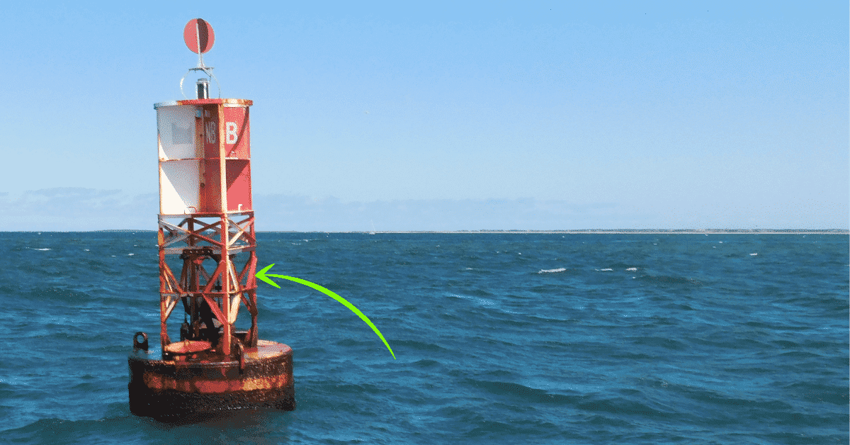
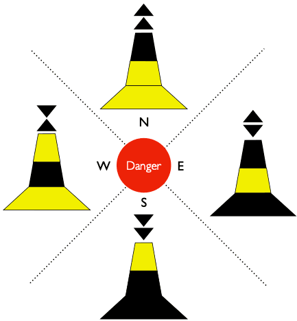
A phone can go flat, fall overboard or lose its position. A paper chart of the area is cheap insurance and gives an overview a small screen never will. Learn to find the compass rose and the scale, and mark harbours and bolt-holes before the trip. If you also know your sea marks and cardinal marks, both the paper chart and the app become much easier to read.
When you rent a boat
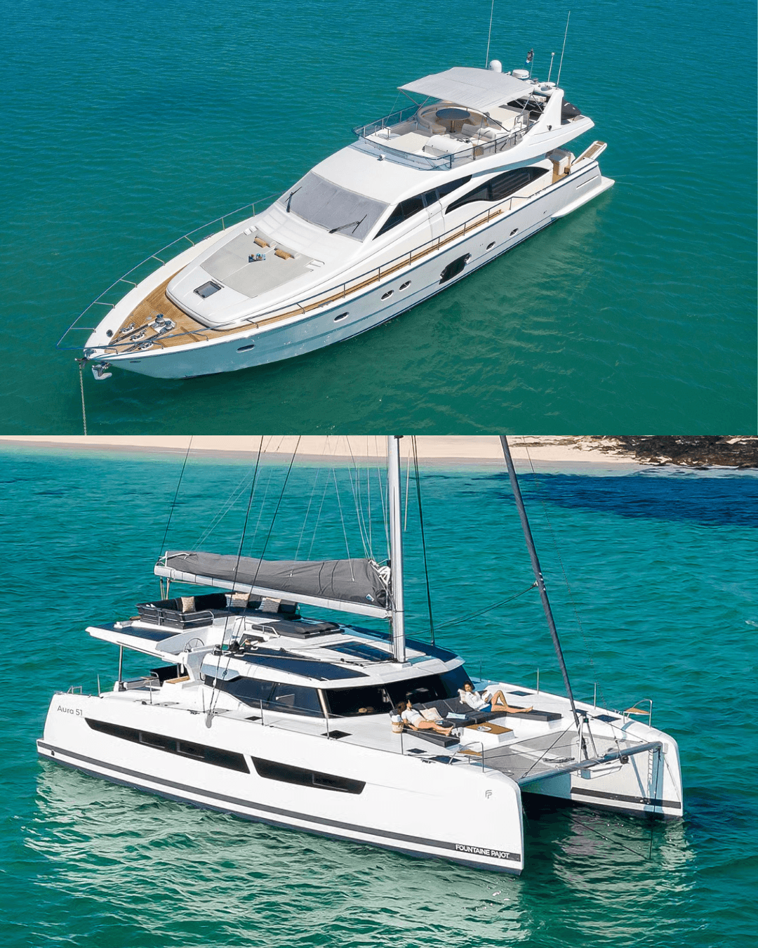
Many rental boats and almost all charter yachts have a chart plotter, but not every small day boat does. Ask the owner or the charter base before the trip:
- Does the boat have a plotter, and which charts are on it?
- Is there a paper chart or a pilot book on board?
- Which areas are shallow or off-limits for this boat?
If there is no plotter, download the area in an app before you arrive. A one-month plan or a trial can be enough for a week's charter, but set a reminder to cancel if you don't want it to renew. To try it out, you can rent a boat in Oslo or in Stockholm, or charter a yacht in Croatia or in Mallorca.
Frequently asked questions
Is Navionics free?
No. The app is free to download and has a free trial, then you need a yearly subscription for each chart region. In the UK store that was £39.99 for UK, Ireland and Holland and £49.99 for the Mediterranean in November 2026.
Is there a completely free nautical chart app?
Not one that lets you navigate offline for free. Orca's free version is the most useful in Norway, C-MAP has a free chart viewer, and Kartverket and Sjöfartsverket show their charts free in the browser. Offline charts cost money in all the main apps.
Which chart app is best for chartering in the Mediterranean?
Many crews use Navionics or C-MAP for the chart and Navily for anchorages and marinas. Check what is on the yacht's plotter first, because you may not need to buy anything.
Do I need a paper chart if I have an app?
It is strongly recommended as a backup. An app depends on battery, downloaded charts and a satellite signal.