

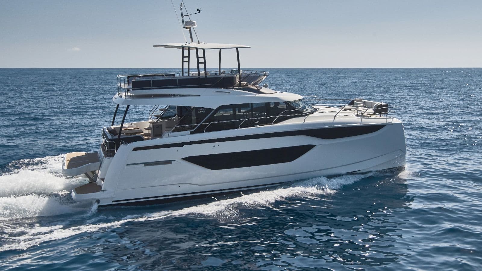
Halkidiki sailing: Sithonia, Mount Athos and Ammouliani
Halkidiki is northern Greece's sailing area: three long fingers of land reaching into the north Aegean, with pine forest down to the water, sandy coves and short daily hops. A typical week from Nikiti on Sithonia takes you down Sithonia's west coast to the deep natural harbour of Porto Koufo, round the southern cape to the Vourvourou islets, across to Ammouliani and along the Mount Athos coast to see the monasteries from the sea, then back. Most legs are 10 to 25 nautical miles.
Where to charter a yacht for Halkidiki?
The charter bases are on the two western peninsulas: Nikiti at the neck of Sithonia, Porto Carras marina at Neos Marmaras further down the same coast, and Marina Miraggio at Kanistro on the south-east tip of Kassandra. You can compare sailing yachts and catamarans on our yacht charter in Chalkidiki page, see boats near the island on the Ammouliani page, or browse every Greek base on the Greece yacht charter page. Charter weeks usually run Saturday to Saturday. For a bareboat charter the skipper needs a licence the charter company accepts (see our guides to the boat licence in Greece and the ICC certificate); otherwise hire a skipper or book a crewed yacht.
A 7-day sailing itinerary from Nikiti
The loop below starts and ends in Nikiti and stays mostly in the Toroneos Gulf (between Kassandra and Sithonia) and the Singitic Gulf (between Sithonia and Athos). All distances are rough estimates: plan every leg with a chart and a pilot book, and ask the base about the forecast before you leave.
Day 1: Nikiti to Porto Carras (approx. 10 nm)
A short first afternoon down Sithonia's west coast. Porto Carras marina at Neos Marmaras is the largest marina in northern Greece, with 315 berths, a dredged entrance of 5.5 m and fuel, water and electricity. It works on VHF channel 9. Tip: the small island of Kelifos, about two miles off Neos Marmaras, makes a good swim stop on a calm morning.
Day 2: Porto Carras to Toroni and Porto Koufo (approx. 10 nm)
Sail south to Toroni, a quiet village with a 2.5 km sandy beach. Its rocky headland was one of the most important cities of ancient Halkidiki, and the remains of the old harbour lie just below the surface, which makes for good snorkelling. Two miles further on is Porto Koufo, described by the Halkidiki tourism organisation as the deepest and safest natural harbour in Greece. The entrance is so narrow that the bay looks like a lake. Anchor inside and eat at one of the small tavernas in the village. Tip: walk up Kapros, the peak above the harbour, for the view.
Day 3: Porto Koufo to Kalamitsi and Diaporos (approx. 24 nm)
Round Cape Kartalia, the southern tip of Sithonia. Its cliffs rise more than 100 m straight from the sea, and the local tourism organisation calls the cape dangerous for navigators, so give it a wide berth and pick a calm morning. Stop for lunch at Kalamitsi (approx. 7 nm), a white-sand bay framed by big rocks with a small island in front. Then head north along the east coast to Vourvourou and its nine islets, the largest being Diaporos. Anchor for the night in the hidden bay of Kriftos on the north side of Diaporos, once a pirate hideout. Tip: the Livari lagoon and the shallow channels between the islets are for the dinghy, not the yacht.
Day 4: Diaporos to Ammouliani (approx. 10 nm)
A short crossing of the Singitic Gulf to Ammouliani, the only inhabited island in Central Macedonia. The main village climbs up from the harbour; the island has a large fishing fleet, so fish is the thing to order. On the way, swim at the Drenia islets, a group of uninhabited rocks with small coves south of the island. Tip: the harbour is busy with fishing boats and the ferry from Tripiti, so arrive early. If there is no room, anchor off the beaches in settled weather.
Day 5: Along the Mount Athos coast (approx. 25-30 nm round trip)
This is the day most crews come for. Sail south-east along the west coast of the Athos peninsula, past the monastery of Dochiariou, as far as Dafni, the port of the monastic state (approx. 15 nm from Ammouliani), and back. You stay well offshore the whole time: see the rules below. The tour boats from Ouranoupoli and Ormos Panagias run the same route. Return to Ammouliani, or go into Ouranoupoli, the village with the Byzantine Prosforios tower where the pilgrim boats leave. Tip: turn back early if the afternoon wind builds.
Day 6: Ammouliani to Porto Koufo (approx. 26 nm)
The longest leg, south along Sithonia's east coast with the Athos peak on your left, then back round Kartalia into Porto Koufo. If the wind is against you, break the day with a swim stop at Kalamitsi. Tip: leave early. Afternoon winds and the swell off the cape are what make this leg hard.
Day 7: Porto Koufo to Nikiti (approx. 22 nm)
Sail up the west coast back to base. Charter yachts must usually be back and refuelled by Friday evening for the Saturday check-out. Tip: fill the tank at Porto Carras on the way if your base asks for a full tank.
Starting from Kassandra instead? From Marina Miraggio at Kanistro, Sithonia's west coast is about 15 nm across the Toroneos Gulf, so the same loop works. Kassandra's other coast, facing the Thermaic Gulf, has Sani Marina and the long Blue Flag beaches of Nea Moudania. That is better sailed as a separate week.
| Leg | Distance | Overnight | Highlight |
|---|---|---|---|
| Nikiti - Porto Carras | approx. 10 nm | Porto Carras marina | Kelifos island |
| Porto Carras - Porto Koufo | approx. 10 nm | Anchor, Porto Koufo | Ancient Toroni, natural harbour |
| Porto Koufo - Diaporos | approx. 24 nm | Anchor, Kriftos bay | Cape Kartalia, Kalamitsi, islets |
| Diaporos - Ammouliani | approx. 10 nm | Ammouliani harbour | Drenia islets |
| Athos coast and back | approx. 25-30 nm | Ammouliani or Ouranoupoli | Monasteries from the sea |
| Ammouliani - Porto Koufo | approx. 26 nm | Anchor, Porto Koufo | Sithonia east coast |
| Porto Koufo - Nikiti | approx. 22 nm | Base | Return and refuel |
Rules and safety in Halkidiki
- Mount Athos. Mount Athos is a self-governing monastic state. Under Article 186 of its Charter, ratified by Greek law in 1926, women may not enter the peninsula, and Greek law still enforces the ban. The waters are under the Port Authority of Mount Athos, whose General Port Regulation applies to every vessel, including yachts. Do not land, anchor or go ashore anywhere on the Athos coast. Men who want to go ashore need a permit (diamonitirion) from the Pilgrims' Office and take the boat from Ouranoupoli to Dafni. The tour boats that carry women keep about 500 m off the coast. Keep at least that distance yourself, and further if the Port Authority tells you to. We could not find the exact distance in an official text we could open, so ask your charter base or the port authority for the current rule before you go.
- Bathing areas. Greek General Port Regulation no. 20 bans boats from coming within 200 m of where swimmers usually reach, or within 100 m of the buoys marking a bathing area, and sets a limit of 5 knots within 200 m of the shore.
- Fishing boats and ferries. Watch for the Tripiti-Ammouliani ferry, the pilgrim boats to Dafni and the tour boats along the Athos coast, and for nets and fishing boats around Ammouliani.
- Capes. Cape Kartalia (Sithonia) and the tip of Athos are where wind and sea build up. Round them in the morning and give the cliffs a wide berth.
- Winds. The meltemi, the northerly summer wind of the Aegean, is strongest in July and August. The National Observatory of Athens counts on average about 17 days of strong northerlies in July and 19 in August (gusts of 50 km/h or more at its Tinos station). Halkidiki is at the northern edge of this system, and conditions vary a lot between the gulfs. Check the Hellenic National Meteorological Service (HNMS) marine forecast every day.
- Licence. Only small motorboats can be driven without a licence in Greece (outboard up to 30 hp on a conventional hull, only 15 hp on a RIB, V-hull or multihull). For a bareboat yacht the skipper needs a recognised licence (the ICC is the safest choice), and the charter company checks it. If you hire a skipper, nobody aboard needs one. Details are in our Greece boat licence guide.
Best time to sail Halkidiki
The sailing season runs roughly from May to October. June and September are the sweet spot: warm water, quieter anchorages and usually lighter winds than high summer. July and August are the meltemi months in the Aegean and the busiest weeks on Halkidiki's beaches and in Ammouliani and Ouranoupoli. May and October are cooler, with fewer boats and some tavernas closed. For the villages and places on this route, see the Halkidiki tourism organisation.
FAQ
Can women see Mount Athos from a yacht?
Yes, from the sea. Women may not set foot on the peninsula, but they can sail along the coast at a distance. The tour boats keep about 500 m offshore, and on your own yacht you should do the same or keep further out.
How far is Mount Athos from Nikiti by boat?
Roughly 40 to 45 nm to Dafni, because you have to round Sithonia's southern tip first. That is why most crews split it: Sithonia first, then Ammouliani, then Athos.
Is Halkidiki good for a first bareboat week?
Yes, on the whole. The legs are short, the gulfs are fairly sheltered and there are marinas at Nikiti, Porto Carras and Kanistro. The exposed parts are the capes and the Athos coast. If nobody aboard has a licence, hire a skipper.
Do I need to book a berth at Porto Carras?
In July and August, call ahead on VHF channel 9 or through the marina office. The anchorages at Porto Koufo and Diaporos need no booking.
Can I sail from Halkidiki to Thassos or the Sporades?
Both are longer passages across open water. See our guides to sailing Kavala and Thassos and the Sporades from Volos.
Planning the trip? Our packing list for a yacht charter covers what to take aboard.



